Goosedog
Member
- Joined
- Apr 1, 2011
- Location
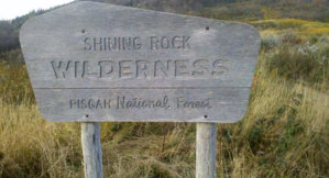
- Pisgah Forest, NC
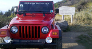
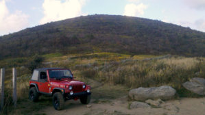
I'm in Pisgah Forest, NC and just recently finished restoring my Willys '63 CJ3b and I want to get it in its element. Not looking for anything too burly, just nice backwoods trails/roads, the kinda thing my Jeep was made for in mostly stock form. Something where 4wheel drive is a must and a winch might be needed but not any extreme rock crawling. This last weekend my GF and I rode thru Gorges State Park down to Jocassee and back on the power company roads, that was about what I want to find more of...maybe a bit rougher. Isn't there more on the SE side of the lake? Being able to camp where we ride is a plus.
Thanks, Goose


Thanks, Goose